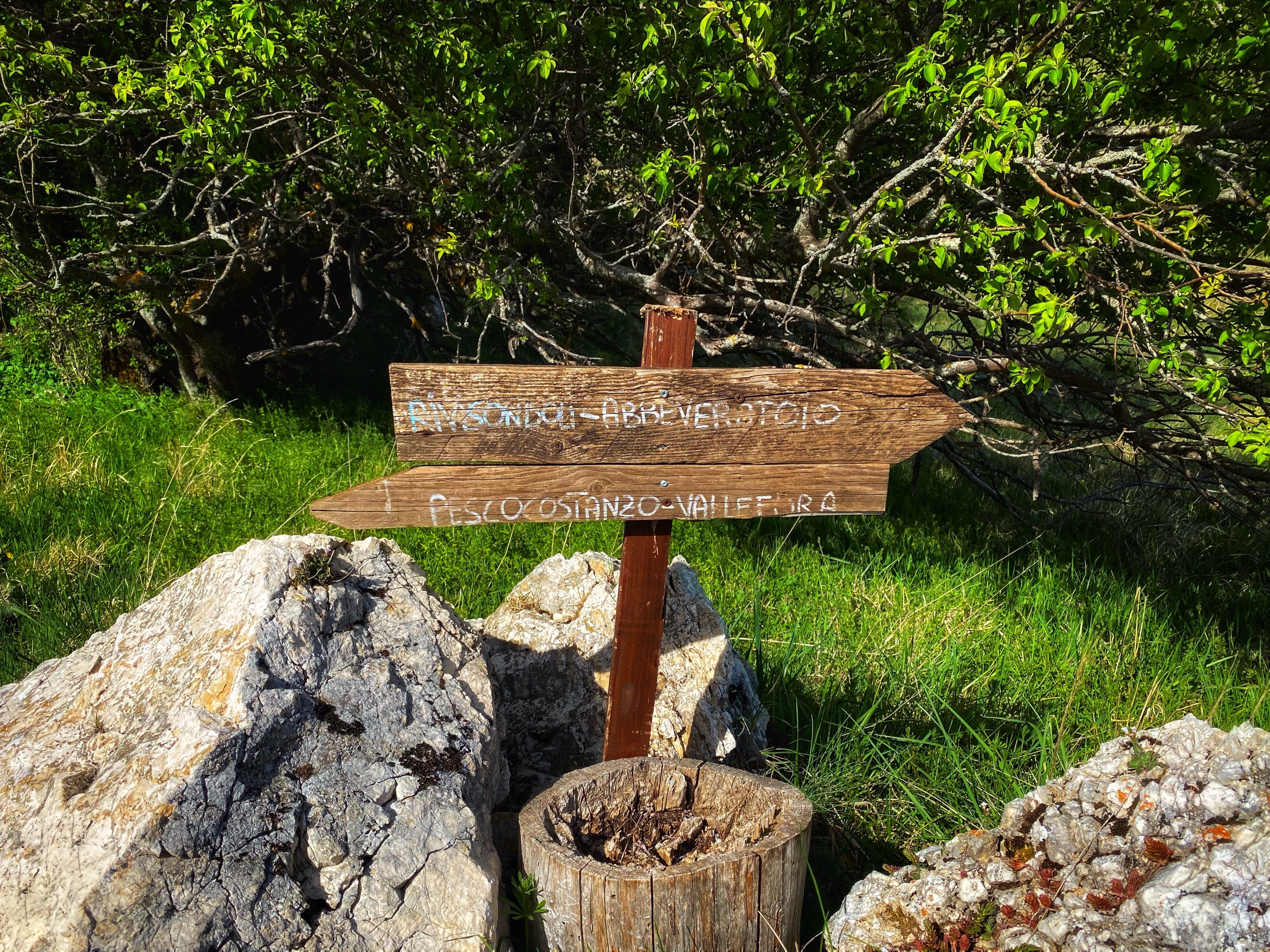
6 trails between Rivisondoli and Pescocostanzo
The ideal place for anyone who loves holidays in touch with nature, who relax by exploring the area with hiking boots on their feet or riding a mountain bike. We are located in Rivisondoli, between Roccaraso and Pescocostanzo, immersed in the Majella National Park and the Abruzzo, Lazio and Molise National Park.
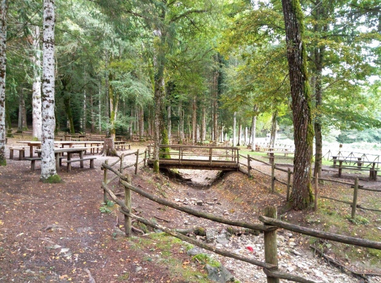
Nature is all around us here.
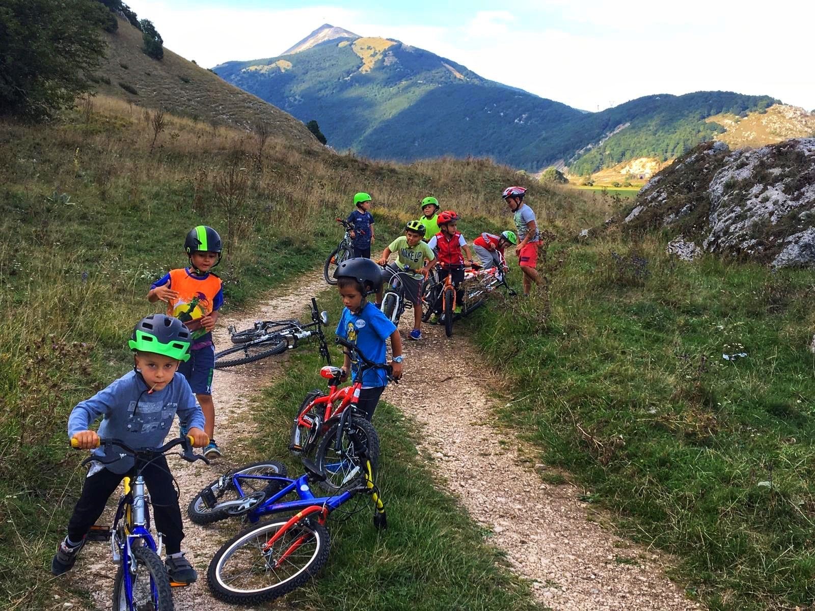
When you stay at the Cipriani Park Hotel you can set off to discover the most beautiful trails. You'll be spoilt for choice with trails to follow on foot or by bike, with your family or friends. Ask at Reception: we will be able to tell you about the associations that organise excursions in the area or other trails for visiting Abruzzo's nature.
Here are 6 trails starting from Rivisondoli that you can follow on foot:
1) From Rivisondoli to Pescocostanzo
Name: Trail S01 from Rivisondoli to Pescocostanzo
Length: 2.3 km
Duration: 1h 10 min
Difficulty: Hiking
Max altitude: 1530 m
Min altitude: 1350 m
Elevation gain: 180 m
Departure point: Rivisondoli
Arrival point: Pescocostanzo
Departure coordinates: 41° 52’ 13’‘ N 14° 3’ 36’‘ E
The trail starts in Rivisondoli and goes up the slope of Monte Calvario. Having reached the pass, between the summit of Calvario and a relief to the east, a gradual descent begins towards Pescocostanzo.
2) From Rivisondoli to Monte Calvario
Name: S02 from Rivisondoli to Monte Calvario
Length: 1.3 km
Duration: 1h
Difficulty: Hiking
Max altitude: 1743 m
Min altitude: 1525 m
Elevation gain: 218 m
Departure point: Rivisondoli
Arrival point: Monte Calvario
Departure coordinates: 41° 52’ 42’‘N 14°3’ 35’‘E
Follow trail S01 until just before the pass, where the diversion to the left is clearly visible. The trail, entirely on dirt road, slowly gains height and passes under a rock escarpment before turning onto the south-west-facing slope of Monte Calvario. Past the first bend, after about 200 metres, the trail is no longer recognisable. The peak of Monte Calvario, at the top of which there is a cross, can be reached by sight in normal visibility conditions.
3) From Monte Calvario to Pantaniello
Name: Trail S03 from Montecalvario to Pantaniello
Length: 2.8 km
Duration: 1h 40 min
Max altitude: 1630 m
Min altitude: 1300 m
Elevation gain: 330 m
Departure point: Monte Calvario
Arrival point: Pantaniello
Departure coordinates: 41° 52’ 47’‘ N 14° 3’ 2’‘ E
The trail starts on the south-western slope of Monte Calvario at a wooden pyramid structure located at the edge of trail S02. The first section of the trail is at high altitude and takes place close to a wood. After an initial hairpin bend, the trail begins to descend more steeply towards Stazzo Pantaniello. From here, walking alongside the wood, we reach the dirt road near a disused quarry.
4) From the Altopiano delle 5 miglia to Stazzo Pantaniello
Name: Trail S04 from Piano delle 5 Miglia to Stazzo Pantaniello
Length: 3.9 km
Duration: 1h 20 min
Difficulty: Hiking
Max altitude: 1330 m
Min altitude: 1246 m
Elevation gain: 87 m
Departure point: Piano delle 5 Miglia
Arrival point: Stazzo Pantaniello
Departure point: 41° 51’ 55’‘ N 14° 2’ 14’‘ E
This simple and pleasant walk leads from the Altopiano delle Cinque Miglia to Pantaniello, crossing the Colli della Difesa and Colli Portella. At Stazzo Pantaniello the trail rejoins the expert trail towards Monte Calvario (S03).
5) From Altopiano delle Cinque Miglia to Piano dell'Aremogna
Name: Trail S05 from Altopiano delle Cinque Miglia to Piano dell’Aremogna
Length: 2.8 km
Duration: 1h 20 min
Difficulty: Hiking
Max altitude: 1535 m
Min altitude: 1305 m
Elevation gain: 230 m
Departure point: Altopiano delle Cinque Miglia
Arrival point: Lago D’Avoli
Departure point: 41°53’ 9’‘ N 14° 3’ 53’‘ E
The trail starts at the Piano delle Cinque Miglia at the base of the Pratello valley. The first 750 m follow the deep valley floor and then bend sharply to the south at the start of some ski lifts. The trail continues uphill through the woods to the stazzo Crete Rosse and then descends again to the wide Piano dell’Aremogna.
6) From Pescocostanzo to Bosco di Sant’Antonio
Name: Family route S10
Length: approx 2.8 km
Duration: 1h
Difficulty: Tourist
Elevation gain: 70 m
Departure and arrival points: Piazzale Scuola Sci di Fondo Bosco di S. Antonio c/o S.P. 55
The tarmac trail - only for pedestrians and cyclists - can also be started from the Park Hotel Cipriani and continues in the direction of Pescocostanzo (via G. D. Annunzio, towards the Il Vecchio Mulino restaurant). The trail leads to the area of the new Pescocostanzo residences, from where it descends to the small gardens and continues towards the centre (2 km).
Rivisondoli hiking trails
TRAILS
- S01 From Rivisondoli to Pescocostanzo via Monte Calvario
- S02 from Rivisondoli to Monte Calvario
- S03 from Monte Calvario to Pantaniello
- S04 from Piano delle Cinque Miglia to Stazzo Pantaniello
- S05 from Piano delle Cinque Miglia to Piano dell'Aremogna
- S06 from Valle del Pratello to Stazzo le Pratelle
- S07 from Fonte dell’Eremita to Pietransiari
- S08 from Rivisondoli to Pescocostanzo (on tarmac road)
- S09 from Rivisondoli to Roccaraso (on tarmac road)
CYCLE PATHS
- C01 from Santa Liberata to Borgo Termale
- C02 from Colle della Croce to Borgo Termale.
Would you like to stay in Rivisondoli? Take a look at our offers for the perfect holiday in Abruzzo.
You may also like

Abruzzo crafts: the festival of ancient trades in Pescocostanzo

Abruzzo is not just about skiing: the mountains of the Slons
On the tracks of the Marsican brown bear: from Palena to Pescasseroli

What to see in Scanno besides the lake

Family activities: “La Camosciara” Nature Reserve by miniature train and Lake Barrea

What to do in the summer in Roccaraso: walking trails